
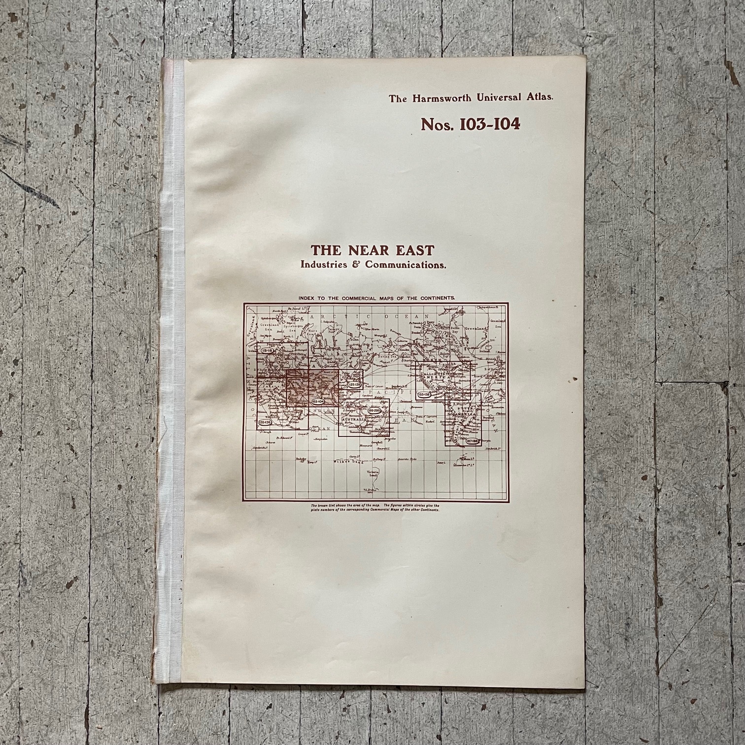
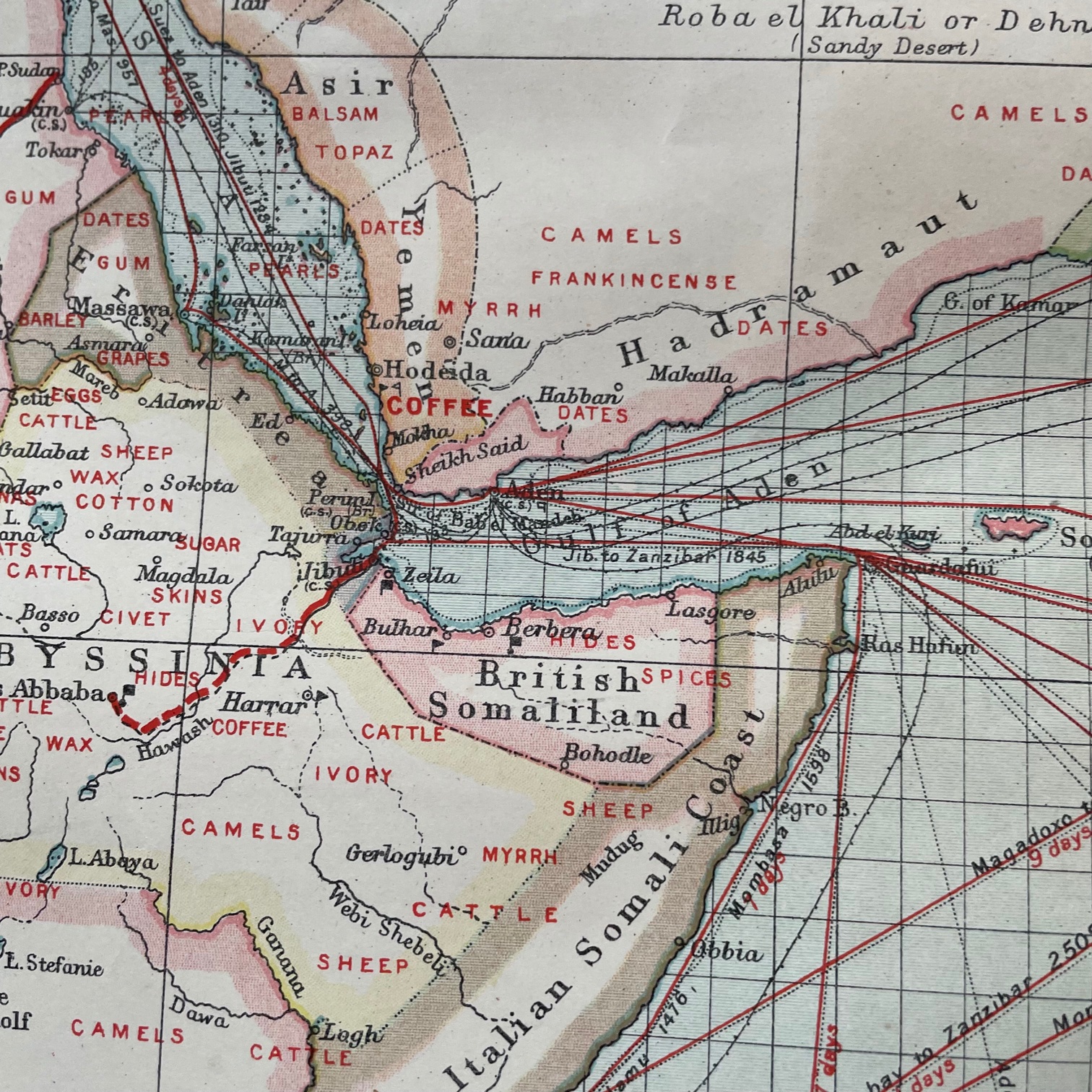
1906 Map of the Near East: Industries and Comm.
$65.00
A Map of the Near East: Industries and Communications taken from the Harmsworth Universal Atlas published by the London Geographical Institution in 1906.
Excellent vintage condition.
21″ x 15.5″ (51 cm x 39 cm)